Midok logo
Facebook logo Instagram logo

Professional Road and Adventure Maps for Your Caribbean Travels

Acceptance Mark

To buy this map:

$12.95 USD each
Shipping included
Payments secured by PayPal
All currencies,
credit cards accepted
Map cover Map cover

Saint Lucia
Caribbean

Road Map with Place Index, Hiking Trails and Diving Sites

[1 : 45 000]

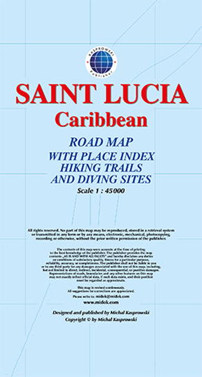
This first and only complete road map with a place index of Saint Lucia (Scale 1 : 45 000) renders all the island's known roads and streets with their names, locates hiking trails and diving sites, and provides insets for the major urban areas: Castries capital, Gros Islet, Soufrière, and Vieux Fort.

The map is sold folded, measuring 5 1/4" x 7 3/4" (13.5 cm x 19.5 cm), and is designed for easy opening and refolding. Its full unfolded format is 26 3/8" x 38 1/2" (67 cm x 98 cm).

It contains the following features:

  • Attractive full color layout;
  • Rich topographic detail;
  • Symbol key and scales;
  • Insets of 4 main cities – including the capital, main and secondary roads, hiking trails, diving sites, shipwrecks, aircraft wreck, airports, geological formations, marine parks, churches, cemeteries, beaches, protected zones, ports, and other points of interest;
  • Depth curves, soundings in meters, longitude and latitude lines and other identifiers.

See excerpts of this map