Midok logo
Facebook logo Instagram logo

Professional Road and Adventure Maps for Your Caribbean Travels

Acceptance Mark

To buy this map:

$12.95 USD each
Shipping included
Payments secured by PayPal
All currencies,
credit cards accepted
Map cover Map cover

Commonwealth of Dominica
Caribbean

Road Map with Street Indexes, Hiking Trails and Diving Sites

[1 : 40 000]

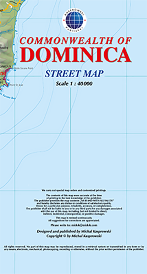
This first and only complete road map of Dominica (Scale 1 : 40 000) displays the island's entire network of roads and streets with their names, includes hiking trails, pinpoints a large number of diving sites and several shipwreck sites around the island, and provides insets and street indexes for the major urban areas: Roseau capital, Mero-St. Joseph, Wallhouse-Loubière, and Lagon-Portsmouth-Glanvillia.

The map is sold folded, measuring 6" x 8" (15 cm x 20 cm), and is designed for easy opening and refolding. Its full unfolded format is 29 1/4" x 48 1/2" (74 cm x 123 cm).

It contains the following features:

  • Attractive full color layout;
  • Rich topographic detail;
  • Symbol key and scales;
  • Street indexes and enlarged insets for capital and major towns;
  • Main and secondary roads, diving sites with index, shipwreck sites, hiking trails, beaches, parish boundaries, airports, lighthouse, reefs, waterfalls, sulfur springs, natural reserves, hospital, cliffs, post office, university, police station, churches, geological formations, ports, and other points of interest;
  • Depth curves, soundings in meters, longitude and latitude lines, and other identifiers.

See excerpts of this map